
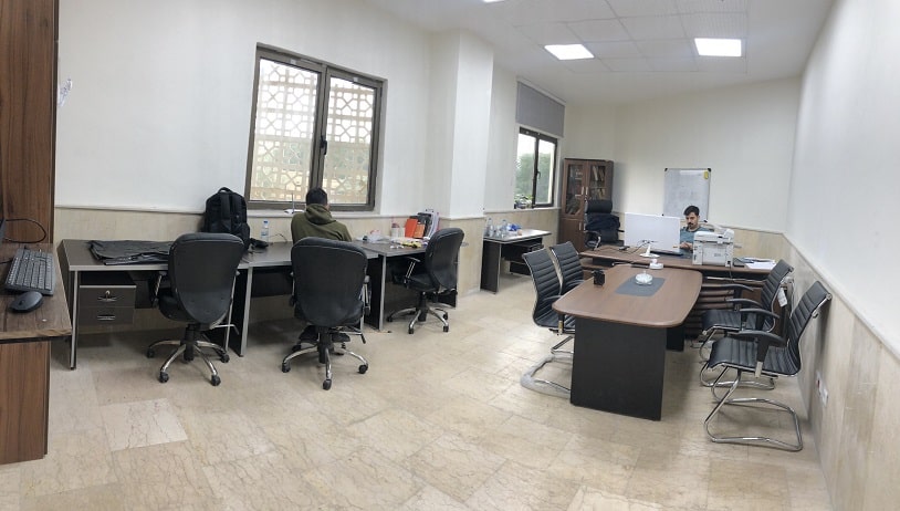
The Faculty of Intelligent Systems Engineering and Data Science is home to the Remote Sensing and Geospatial Data Analysis Research Laboratory. Dr. Ahmed Keshavarz is in charge of managing the operation of this laboratory.
The greatest range of remote sensing is very long and vast. Since the discovery of electromagnetic waves' potential, humans have used them to successfully identify and diagnose a variety of structures.
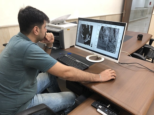
The use of remote sensing has the advantage of allowing us to get important data from far-off objects that may nevertheless have an impact on us. Electromagnetic waves serve as the method's key component. We can learn various things about these objects through the reflection of these waves off of various objects. The data gathered will be crucial to identifying the elements in them because the structure of the object in question, depending on its type, cannot reflect electromagnetic waves with varying energy and frequency.
Activity areas:
processing of SAR satellite images
Multi-spectral satellite image processing
Targets:
Data extraction from satellite pictures and classification, segmentation, analysis, and classification
analysis of satellite photos to derive user-requested information
Plans and initiatives:
Using Sentinel-1 images to extract soil moisture
using Sentinel-1 pictures to separate water and ice
using Sentinel-1 photos to extract the wind speed on the sea surface
